Upper Catchment Tributaries Flood Study
Share Upper Catchment Tributaries Flood Study on Facebook
Share Upper Catchment Tributaries Flood Study on Twitter
Share Upper Catchment Tributaries Flood Study on Linkedin
Email Upper Catchment Tributaries Flood Study link
Consultation has concluded
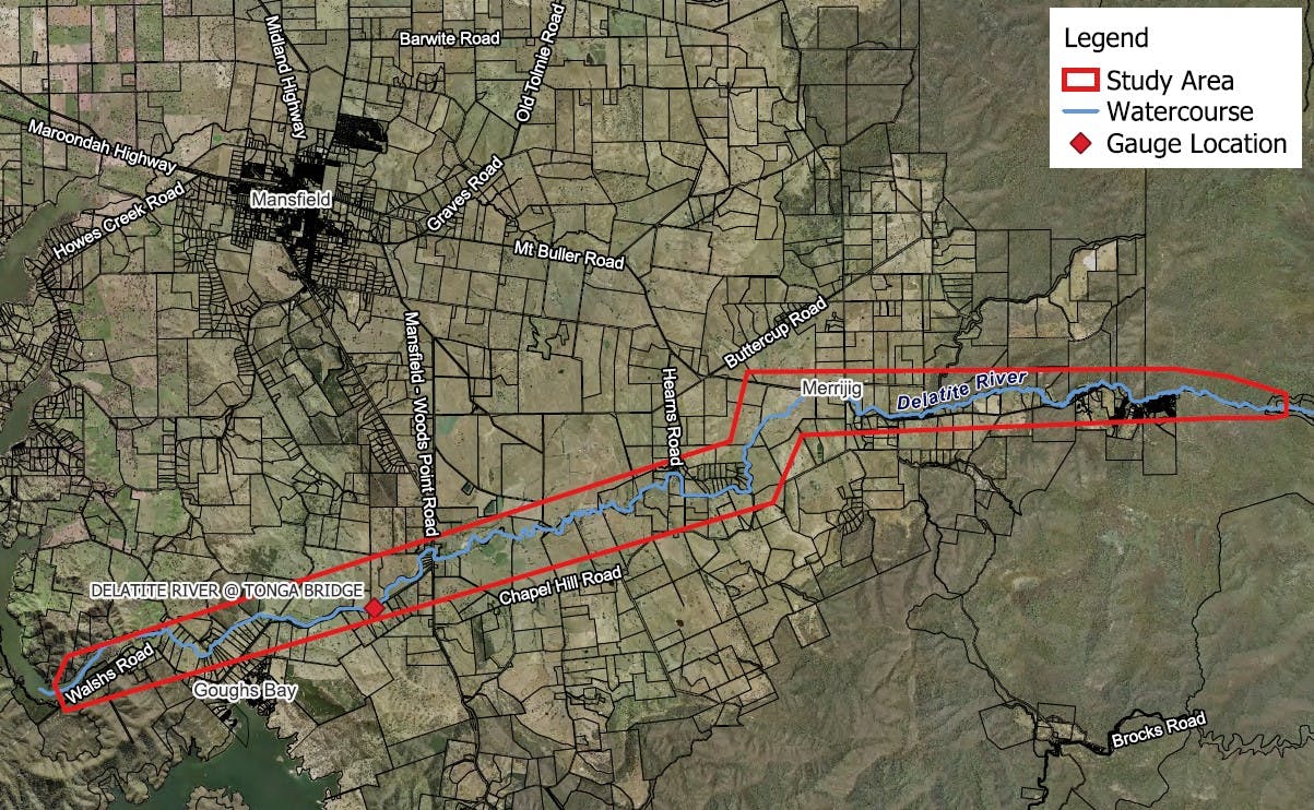
Do you have local knowledge or experiences with flooding along the Delatite River, Howqua River or Upper Broken River?
Following the recent flood study of Mansfield township, Council is now undertaking a new study to better understand flood risks along these important river systems. This project will help identify which areas may be affected under different rainfall and flood scenarios, improving our understanding of how floods behave across the Shire.
Consultation has concluded