Bonnie Doon Plan

Share Bonnie Doon Plan on Facebook Share Bonnie Doon Plan on Twitter Share Bonnie Doon Plan on Linkedin Email Bonnie Doon Plan link

Mansfield Shire Council adopted the Bonnie Doon Plan at its Ordinary Council Meeting held Tuesday 21 March 2023.

Mansfield Shire Council adopted the Bonnie Doon Plan at its Ordinary Council Meeting held Tuesday 21 March 2023. 

The draft Bonnie Doon Plan is now available for review and incorporates feedback captured during the consultation period and covers strategic policy, land use controls and community and economic development aspects of Bonnie Doon with a future vision for 20 years.

The plan has considered the likely future of Bonnie Doon within the context of Mansfield Shire and broader state government objectives and seeks to avoid potential future issues.

Designed to ensure the town’s resilience, the plan aligns existing strategic plans which will enable the area to leverage grants and funding for its future prosperity. The main alignment relates to the Lake Eildon masterplan, but the Great Victorian Rail Trail also presents significant opportunities.

The proposed objectives of the plan are to;

  • create clearly defined gateways which improve the recognition and identification of Bonnie Doon township along the Maroondah Highway
  • promote Bonnie Doon within its wider regional Hume tourism context
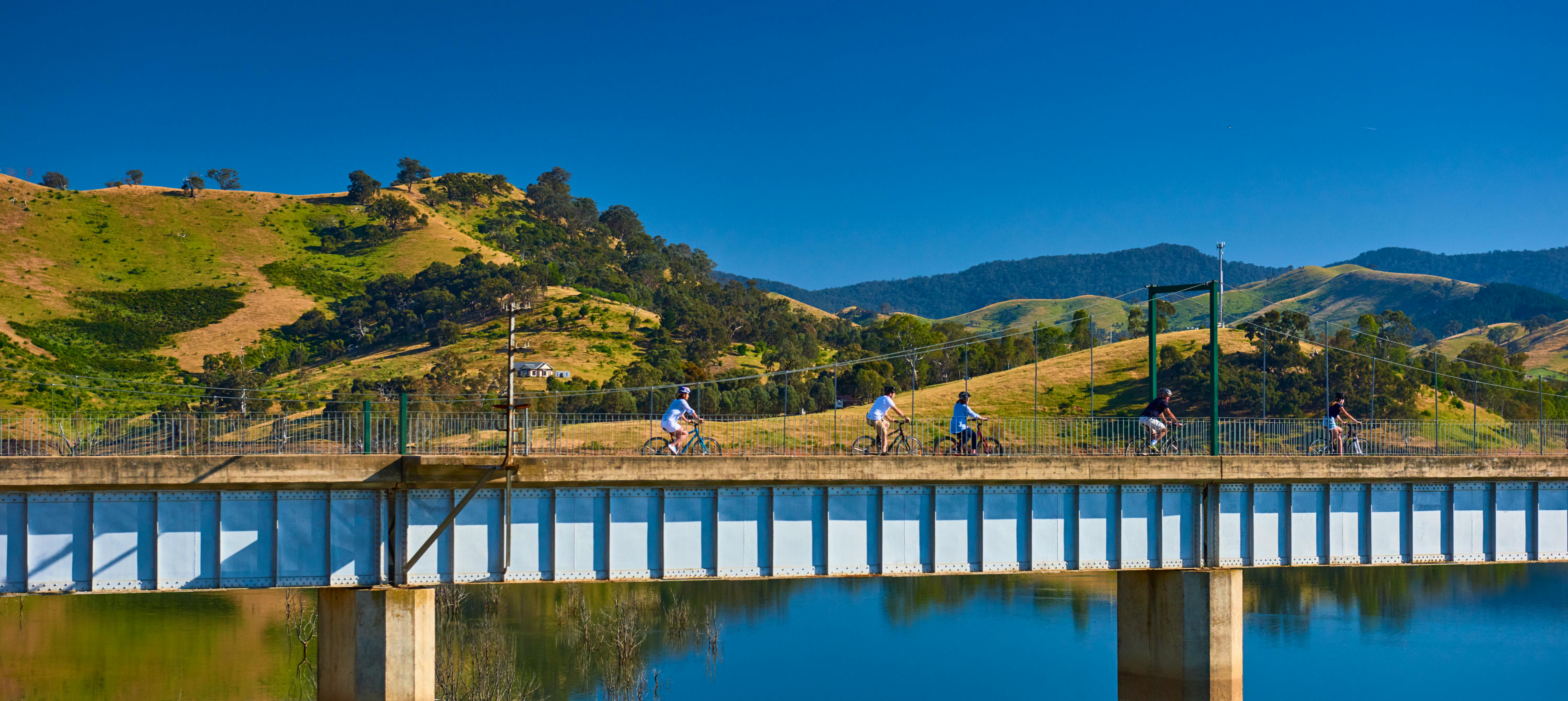
  • maintain Bonnie Doon’s connection to Lake Eildon and strengthen its integration with the Great Victorian Rail Trail
  • preserve and improve the appearance of the public realm, including primary and secondary streetscapes
  • protect, strengthen and enhance the existing built form and character of the town as a method for maintaining amenity and serenity
  • maintain and enhance existing public open spaces
  • provide clear urban and built form guidance for new, infill development and alterations and additions to existing buildings
  • enhance the pedestrian and cycling network bisecting the township to improve access to local services and facilities including open spaces and community hubs. The network will maintain natural biodiversity by enhancing this route as a wildlife corridor.
  • protect and enhance key views which centre upon natural features and vistas, including Lake Eildon, by ensuring future development is sensitive to, and does not obstruct views to and from the natural landscape
  • provide for future commercial development and encourage the establishment of new businesses
  • provide for water based-tourism and accommodation opportunities.

Substantive short-term actions within the plan include requesting that the speed limit along the Maroondah Highway be reduced to a limit of 60 kilometres per hour within Bonnie Doon. In addition, the plan proposes to enable the development of approximately 287 allotments surrounding Lake Eildon, subject to state government approval.

The proposed rezoning will commence after the adoption of the Bonnie Doon Plan which will allow further development for housing within the area. As a final short-term action, the car park at the western end of the bridge is proposed to be upgraded to allow ease of parking access for residents and tourists alike.

The draft Bonnie Doon Plan is now available for review and feedback to ensure to accurately reflects the wants and needs of the Bonnie Doon community.

Background

The Mansfield Planning Strategy identified the need to prepare a structure plan to determine how Bonnie Doon should look in the future.

Tourism in Mansfield Shire has been steadily growing and the COVID-19 pandemic has dramatically increased this growth. In addition, there is continuing population growth, an increase in house prices and the need for more houses and community facilities. These changes increase the need for a plan for Bonnie Doon - one that incorporates a community vision and a plan for land use, developments, facilities and character in the Bonnie Doon township.

The plan creates a direction for the Bonnie Doon community, one that can be worked toward by everyone: residents, landowners, visitors, businesses and Council as it makes decisions about future land use and facilities.

What the plan incorporates

The draft Bonnie Doon Plan incorporates a Structure Plan and a Community Plan and considers emergency management, resilience and recovery.

Community Plan

The draft Bonnie Doon Plan considers what the current situation is in relation to all aspects of a community: social, physical, economical and environmental. Together, the community is asked to identify its priorities, which can be used to inform Council and others who provide physical and financial resources to the region.

The Bonnie Doon Plan should reflect the community's vision for the future, naming its priorities for improving and developing the community. The strength and connectedness of a community is dependent on its physical environment.

Structure Plan

The purpose and function of a structure plan is to plan for future growth to manage change to the physical environment and activities. It addresses and manages the development and management of public infrastructure, in streets, parks and walkways. It sets private property development parameters for preferred land uses, building form, heights and siting.

A structure plan reflects community values and aspiration for the future growth of the town, providing guidance to the community, government, business and the development industry about the appropriate directions and opportunities for change.

Share Future Locations on Facebook Share Future Locations on Twitter Share Future Locations on Linkedin Email Future Locations link

Future Locations

about 2 years

Where do you want houses, shops, and open space?

CLOSED: This map consultation has concluded.