Mansfield Open Space Strategy
Consultation has concluded
Changes to the Open Space Strategy
- Page 5: Changed the function of the Racecourse and Showgrounds to include Equestrian
- Page 11 in Action 3.1.3 added the Department of Environment, Land, Water and Planning and Parks Victoria to the list of management committees.
- Page 13: in Action 3.2.5 added ‘biodiversity protection’ as a co-benefit
- Page 15: in Action 3.3.2 added ‘to explore opportunities to’ provide additional sport and recreation opportunities.
- Page 21 in Action 3.4.3, added biodiversity as a tree canopy consideration.
- Page 23 added action 3.5.8 to ‘Protect and enhance environmental biodiversity’.
Within the maps:
A visual depiction of the changes is shown in the map below.
- Altered location of future local open space from 79-95 Monkey Gully road to 60 Monkey Gully road
- Altered the proposed linear open space from intersecting 50 Mt Battery road to running along the boundary of Mt Battery Road and Greenvale Lane. Altered the proposed footpath from intersecting 102A Malcolm Street to running along the Eastern Boundary of 99 Highett Street, and intersecting 136 Malcolm Street.
Changes to the Development Contributions Plan
- Page 11:
- Altered the development contribution rates to a sliding scale as follows:
- For residential developments:
- For developments yielding 2-4 lots: 5%
- For developments yielding 5-9 lots: 6%
- For developments yielding 10 or more lots: 7.5%
- For Mixed use, commercial and industrial contributions:
- 5% of the net developable area in cash or land contribution.

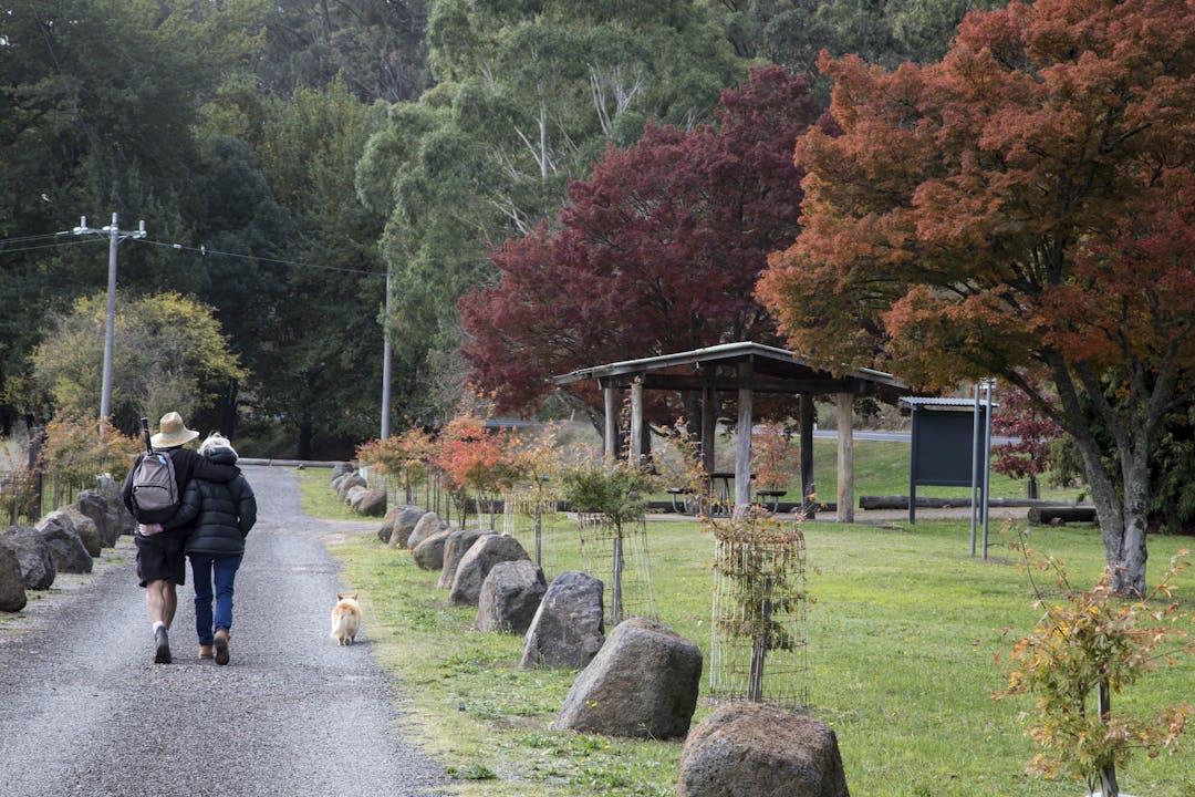
About open spaces in the Mansfield Shire
Mansfield is a historic township developed around a network of creeks, paddocks and forested areas which provide a significant range of open space and natural areas to accommodate the community’s needs. While this relative abundance of open space provides significant opportunities for a range of formal and informal recreation activities and environmental outcomes, Council requires an overarching strategic document to guide future management priorities and directions, including open space contributions.
Assessment of existing open spaces in the Mansfield Shire
Realm Studios has conducted an Open Space Assessment of existing open spaces in the Mansfield Shire. With the key findings being reviewed, Realm has since determined areas within Mansfield Township requiring additional public open space and pedestrian/bicycle access. The proposed areas are shown in the map below:

Assessment of existing open space quality and areas of importance in the Mansfield Township
In addition to reviewing and proposing new open space. The strategy also proposes actions to be undertaking at existing areas to improve, better manage or assist the community in having appropriate areas of public open space, as seen in the image below:

Creation of a Development Contributions Plan
As part of the strategy, a Development Contributions Plan (DCP) is proposed to gain funding for creating or improving public open spaces. For additional information on DCPs, please look at our frequently asked questions where they are explained in detail. A proposed map of areas where the DCP will apply is shown below:


Questions?
-
Acting General Manager Infrastructure and Planning
Phone 03 5775 8555 Email melissa.crane@mansfield.vic.gov.au