FAQs
- Chenery Street
- High Street (excluding crossovers and car parks)
- Jamieson-Licola Road (west of Mt Sunday Road)
- Malcolm Street (east of Chenery Street)
- Mansfield-Whitfield Road
- Mansfield-Woods Point Road
- Maroondah Highway
- Merton-Euroa Road
- Midland Highway
- Midland Link Highway
- Mt Buller Road
- Warburton-Woods Point Road
- Link Roads link communities to one another.
- Collector Roads collect traffic from Access Roads and transport it to a community or a Link Road.
- Access Roads provide access to individual properties. Most residential streets are Access Roads.
- Limited Access Roads provide access for agriculture and fire services etc.
Who is responsible for what roads?
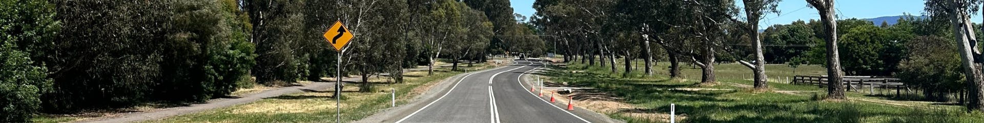
| Roads with a 'route designator' | The Department of Transport and Planning manages all roads with a route designator. One example is Mansfield-Woods Point Road. It has the route designator C511, which you can see on maps and navigation systems. |
| Roads on Council's Road Register | Council manage's all roads listed on the Road Register according to the Road Management Plan. |
| Roads in state forests | The Department of Energy, Environment and Climate Action manages the majority of roads and tracks in state forests. |
| Other roads | Roads that don't fall into the other three types are usually not managed by authorities. If an unmanaged road meets specific criteria in the Road Management Plan, Council may decide to include it in the Road Register and take responsibility for maintaining it. Often these roads need significant upgrades to bring them up to standard, and the cost of these initial upgrades may need to be contributed by the abutting landowners. |
Which roads are maintained by the Department of Transport and Planning?
Why is/isn't my road on the Road Register?
Council aims to include all roads that are reasonably required for general public use in the Road Register. For consistency, Council uses specific criteria to determine whether a road should be included.
These criteria are specified in Council's Road Management Plan (section 4.2.1).
As an example, a disused road that provides access to only one property and is not necessary to access services may not be considered to be required for general public use, especially if that property already has direct access to other public roads.
Council have limited resources to manage and maintain the shire's road network, and cannot maintain all minor roads and tracks.
What is a road classification and what why does it matter?
Council's Road Management Plan classifies roads into 4 classes (section 4.3):
Link Roads are the highest class and Limited Access Roads are the lowest.
Higher classes receive a higher level of maintenance, meaning more frequent inspections, shorter response times for defects and more extensive repairs.
Why are car parks and parking bays on the Road Register?
The Department of Transport and Planning manages and maintains major roads such as High Street, Mansfield, but not "ancillary components" such as car parks.
Council manages the ancillary components, and they must be included on Council's Road Register to be covered by the Road Management Plan.